


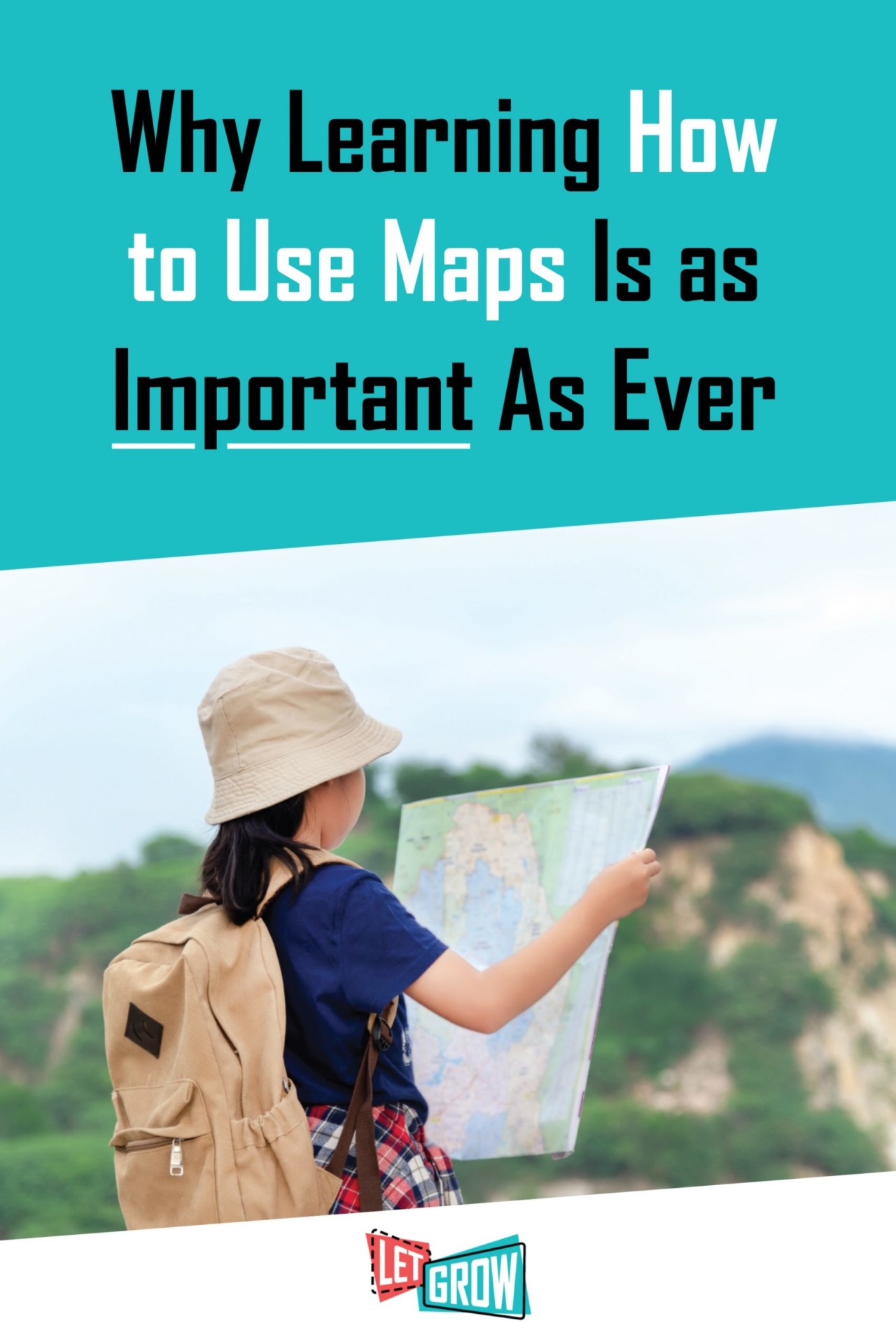
Should We Still Be Teaching Kids How to Read and Use Maps?
The other day I was on a work trip in Los Angeles and had to traverse four different interstates, take 10 back roads, and skirt three traffic jams to get to my hotel. All I had to do to navigate this world-renowned cluster of LA gridlock was listen to the little voice on my phone that told me when to turn left and right. When I arrived at my hotel, I wondered, “How the heck did people do this before GPS?”
Then I remembered the state map my dad kept in the glove compartment of his truck. And I recalled the atlas tucked in the seat pocket of my mom’s van. With a bit of nostalgia, I thought about a time when everyone, from the mail carrier to my babysitter, knew how to read and use a map. Even in second grade, my teacher did a whole unit on mapmaking.
Fast forward almost thirty years, and nearly every state still has social studies content standards about mapmaking, despite the fact that there are satellites that orbit the globe giving us directions. Students are still being taught how to create and read maps. Given the technology we have, is this a skill we no longer need to teach? Are map skills outdated?
Absolutely not. When kids learn how to create and use maps, they are doing more than just learning how to get around. They are developing fundamental skills that they will use for the rest of their lives. Map skills still belong in today’s classroom.
Map skills help develop our spatial thinking.
Spatial thinking is the ability to give visuals to data. That is basically what a map is: a visual representation of coordinates on a plane. When students learn map skills, they are learning to visualize and interpret data. It is no longer just data and numbers, but instead something they can interact with and utilize. By looking at a detailed drawing, they can see where the river flows through a town, learn how to get to the mountains, and find the best route to the grocery store.
Think of how often we use this skill of visualizing data in our everyday lives. When we read stats online about a school we are considering for our children, we don’t just read the statistics about it and make our decision. We imagine what that data represents and try to envision our children being a part of it.
Many of us use spatial thinking to identify where we want to live, what kind of neighborhood we want, what natural resources we want to live by, and what environmental hazards to consider. Spatial thinking takes something like climate change data and helps us imagine what coastlines will look like if it is not addressed. Our ability to think spatially is critical, and this is why it needs to be developed and honed from a very young age.
Map skills teach us to recognize symbols.
We may not be unfolding a map in our cars anymore, but we are still looking at and using symbols as much as ever. From traffic signs and desktop alerts to endless advertisements, interpreting symbols is crucial. Reading and creating maps is a way to practice this skill.
For instance, if students were given the task of creating a map of their own neighborhood or giving directions to a newcomer in the area, they could use symbols to highlight all of the vital locations in the neighborhood (hangout spots, yards to avoid, friends’ houses, etc.). Next to the map they could include a key to indicate what each symbol represents. Yes, this is map practice, but more importantly, this is a lesson in understanding and using symbols.
Maps give us new opportunities.
In a world that seems to be growing more disconnected with children who are more isolated than ever, maps can give us an opportunity to get out and explore. Plus, anytime you can encourage hands-on learning in the classroom, you’ll have more engaged students. Whenever I want to take my kids to a new fishing hole, the first place I go is a map to look for that blue rendering of a lake or pond. From there I either google the body of water’s name and find out how to get there, or, if the directions are simple enough, we load up and start driving. The same can be done with any natural area, as they are all marked specifically on maps.
Knowing how to recognize different topographical features on a 2D map has opened the door for my family to find natural areas that are not listed on park websites or don’t have signs for them on the interstate. We’ve discovered waterfalls in southern California, hidden bays in Cape Cod, and small 10-acre patches of woods in the middle of our city. We get to experience all of this because of a skill I learned in grade school.
We still use maps.
And the final reason we still need to teach using maps is: because we still use them! At every trailhead in most county, state, and national parks is a map to give hikers and bikers directions. Most museums, zoos, or botanical gardens hand out brochures with a map of how to get to different exhibits and installations. Even Walmart now provides maps for shoppers to find their way around the stores. Maps are still a useful tool in our society.
Advancing technology is great, and by no means should we not teach students how to utilize and embrace it, but the ability to give and follow directions, interpret symbols, and understand the land and places we inhabit is still crucial. It’s just as imperative as when I was a kid and my dad used maps to navigate us across the country during road trips. Though, admittedly, my dad probably would have appreciated having Google Maps back then.


Comments are not active.